Planning | Designworks | Placemaking
Frenchtown
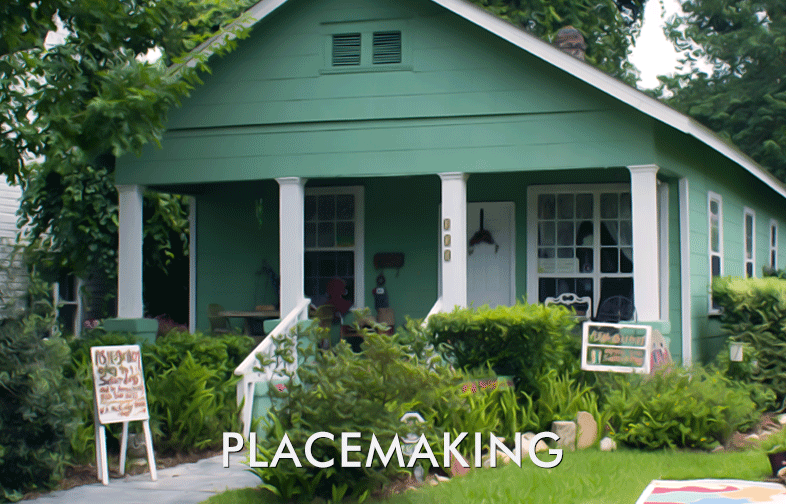
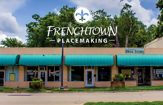
The Frenchtown Placemaking Study was a response to concern about student and affordable housing developments being built in the community and to identify opportunities to strengthen the Frenchtown Community. While Frenchtown is an established historical place and its reputation has changed and evolved, one thing has remained the same ‑‑ the residents call it home. Download Frenchtown Plan.
Miccosukee
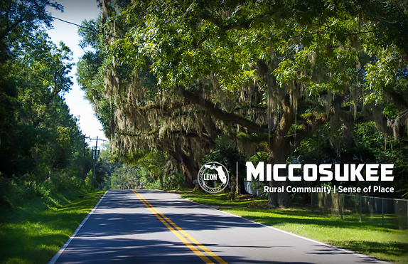
The first sense of place study in a rural community. The purpose of the Miccosukee sense of place study was to identify opportunities to help strengthen the connection between people and the Miccosukee community. The initiative will allow citizens to make extraordinary improvements in their community and provide an outlet for proactive and positive change. Download Miccosukee Plan.
Huntington
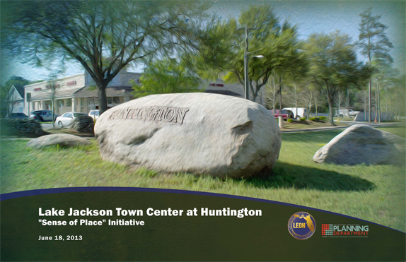
The Lake Jackson at Huntington Initiative redeveloped the former Huntington Oaks Plaza to house the Lake Jackson Branch Library and Community Center. It has all the pieces – strong neighborhoods, community schools, a public library and retail destinations – to become a strong, cohesive and recognizable "Sense of Place". Download Huntington Plan.
Market District
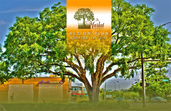
Market District has shops, restaurants, a farmers market, a school, local parks, and neighborhoods. A fitness center is a park-and-ride site for StarMetro's express route to Downtown and the State office complex. The commercial center is bounded by Interstate 10, Killearn Estates, the 1,200 acre Alfred B. Maclay Gardens State Park, and other residential neighborhoods. Download Market District Plan.

Midtown
With Downtown nearby and well connected transportation, Midtown is central to many neighborhoods. It is home to local landmarks, such as the Los Robles gates, Capital Plaza, and Lake Ella. Local investment turned the area into a dining and entertainment destination. The Midtown Merchants Association and neighborhood associations created a solid foundation on which to build.
Monroe-Adams Corridor
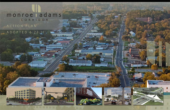
The Monroe-Adams Corridor has businesses and residential enclaves and serves as a gateway to Florida A&M University and downtown Tallahassee. The small, interconnected blocks are ideal for a walkable neighborhood, and there are many opportunities to knit together the surrounding neighborhoods, university campus, and local business core. Download Monroe-Adams Plan.
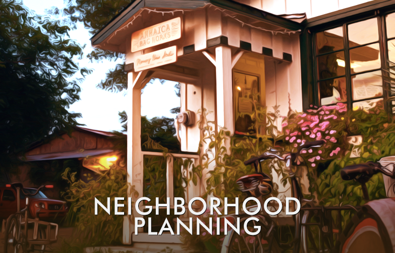
The focus of neighborhood planning was to recognize the importance of each neighborhood and develop a plan to strengthen and protect neighborhoods, and to provide services and opportunities that promoted the stability and health of these areas.
These neighborhood plans were a result of a collaborative planning process conducted by residents, businesses, the Community Neighborhood Renaissance Partnership, neighborhood associations, and the broader Tallahassee community. They were developed by general consensus and, as such, represented the "agreed upon" future direction for the neighborhood.
Apalachee Ridge Estates – A southeast Tallahassee neighborhood bounded by Orange Avenue to the north, Millard Street to the south, Harwood Drive to the west, and Pontiac Drive to the east. The majority of the homes are one story single-family homes. Typically, three-bedroom house with a living room, eat-in kitchen, and a bathroom. Newer homes in the neighborhood include split-level homes, duplexes and/or town homes concentrated along the southern end of Pontiac Drive.
Capital Cascades – A highly varied area extending generally from East 6th Avenue and Magnolia Drive in the northeastern section of Tallahassee to a line due east from Crawfordville Hwy. at Hannon Mill Road on the south; and Munson Slough, Pottsdamer Street, Iamonia Street, and CSX Railroad on the west.
Lake Bradford – A neighborhood generally bounded by the CSX Railroad right-of-way to the north, Capital Circle Southwest to the west and south and the eastern boundary of Innovation Park to the east. Within the boundary are varied areas from the airport and supporting industrial development, to older residential neighborhoods, cultural and recreational resources and the Lake Bradford Chain of Lakes.
Oak Ridge – An area generally bounded by Capital Circle on the south and southwest; on the north by Tram Road, Gaile Avenue, and a line due east from Crawfordville Hwy. at Hannon Mill Road; Tram Court and Evans Street on the east and Munson on the west. Includes a diverse mixture of single-family and multi-family residential, mobile home, and industrial park subdivisions.
Providence – A southwest Tallahassee neighborhood located off Lake Bradford Road and bounded by the CSX Railroad lines on the north, Hutchinson Avenue and FSU's Alumni Village on the south, Iamonia Street on the west and Lake Bradford Road on the east. The neighborhood lies within an earshot from Florida State University, Florida Agricultural & Mechanical University, FAMU/FSU School of Engineering, FSU's Alumni Village and Innovation Park.
South Monroe – An neighborhood bounded by the Seaboard Railroad right-of-way to the north, Adams Street to the west, Gaile Avenue to the south and Meridian/Jim Lee road to the east. Varies from fairly affluent to some of the most economically challenged and bounded by the Downtown/Capital Center, Florida A&M University, Myers Park and the North Florida Fairgrounds.
West Pensacola – A highly urbanized area, comprised of a mixture of university properties, university-related retail and services, student rental housing, large apartment units, stable older neighborhoods, and several government owned properties. Tallahassee Community College and Florida State University bookend the sector.
State of the Southern Strategy Report
In 1998,
policies for the Southern Strategy Area were adopted into the
Comprehensive Plan. This strategy was established to encourage a growth
pattern in the southern part of the City of Tallahassee as well as
adjacent portions of unincorporated Leon County as a counterbalance to
the rapid growth pattern in the northern and eastern areas of the
community. The Southern Strategy Area covers about 17½ square miles, or
nearly 11% of the area inside the Urban Service Area boundary. The
Comprehensive Plan requires the Planning Department to prepare the State
of the Southern Strategy Report every three years.
2016 State of the Southern Strategy Report